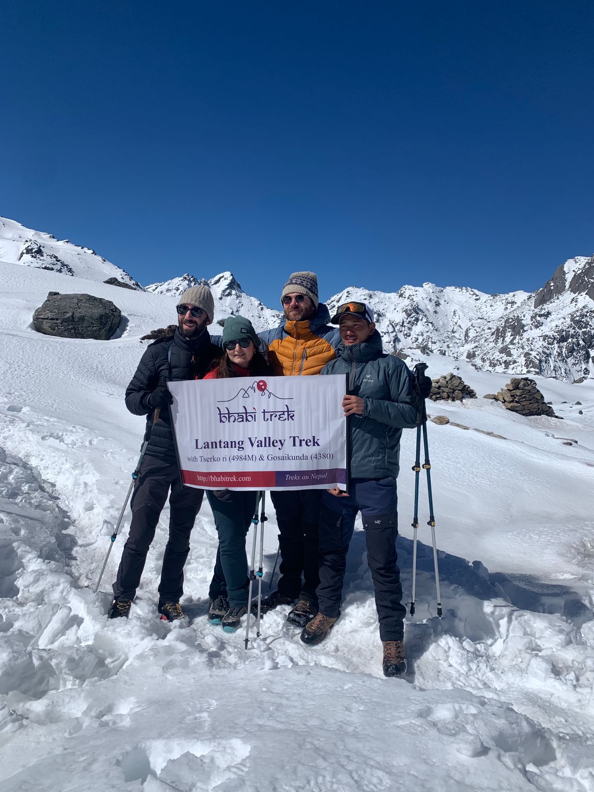
Annapurna Circuit Trek with Poonhill 2026
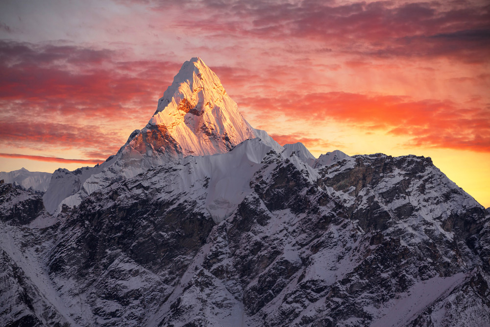
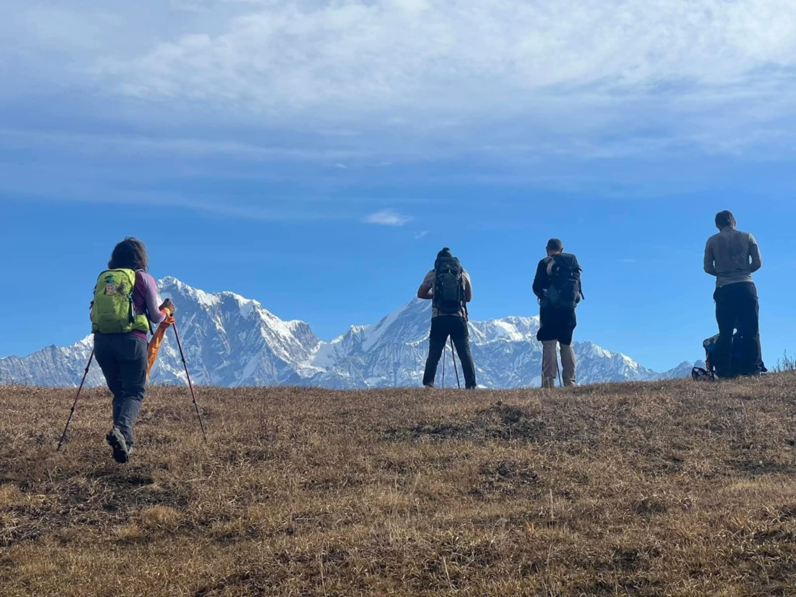
The Annapurna Circuit Trek is one of the most renowned trekking routes in the world, offering an unforgettable journey through the diverse landscapes of the Annapurna region in Nepal. In 2026, it remains a top choice for trekkers seeking adventure, cultural immersion, and breathtaking natural beauty. Here’s an overview:
Key Features
- Location: The Annapurna Circuit is located in the Annapurna Conservation Area of north-central Nepal.
- Duration: Typically, the trek takes 12–18 days, depending on the route and pace.
- Route Highlights:
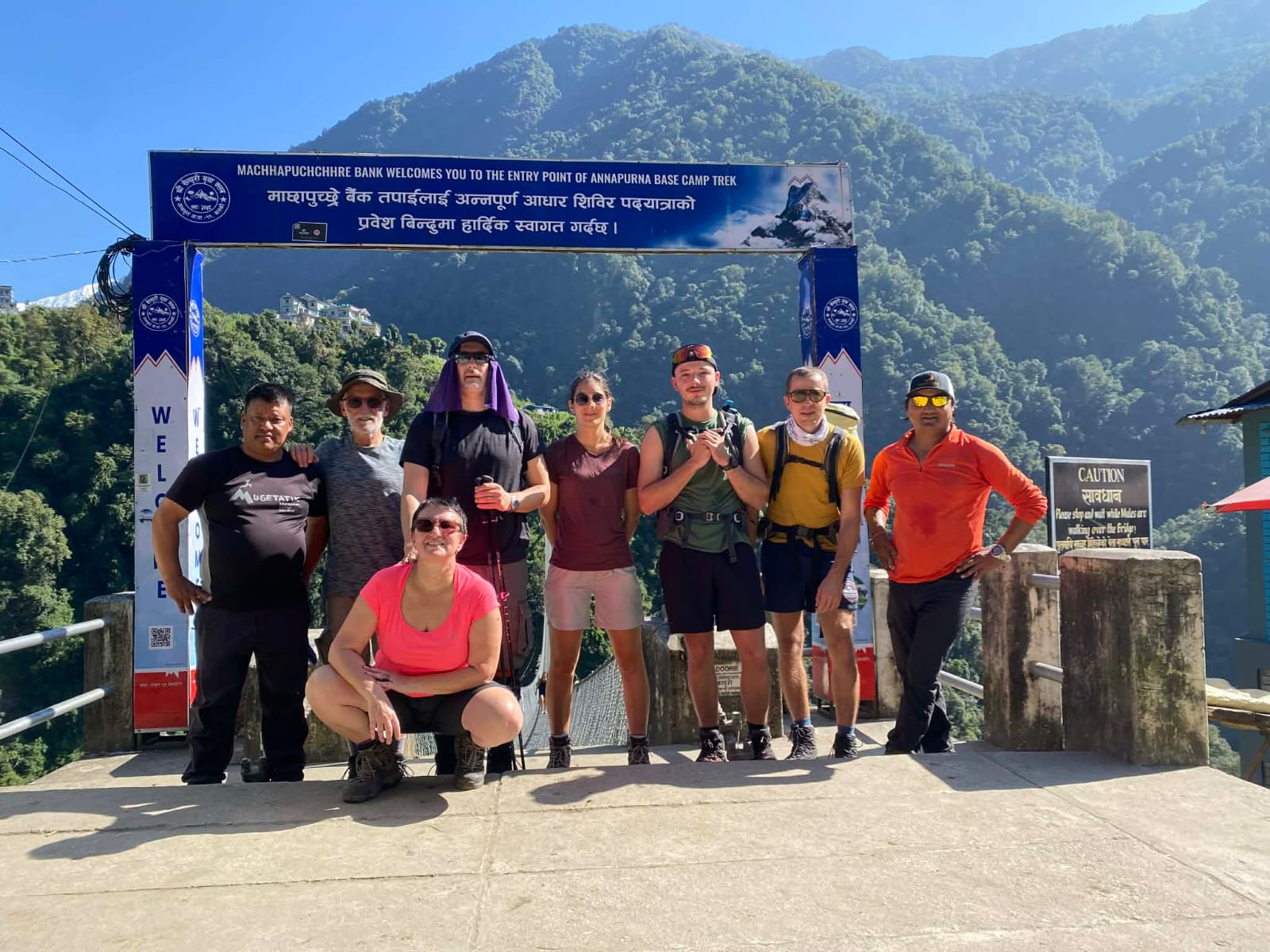
- Starts in Besisahar or Bhulbhule and ends in Jomsom or Nayapul.
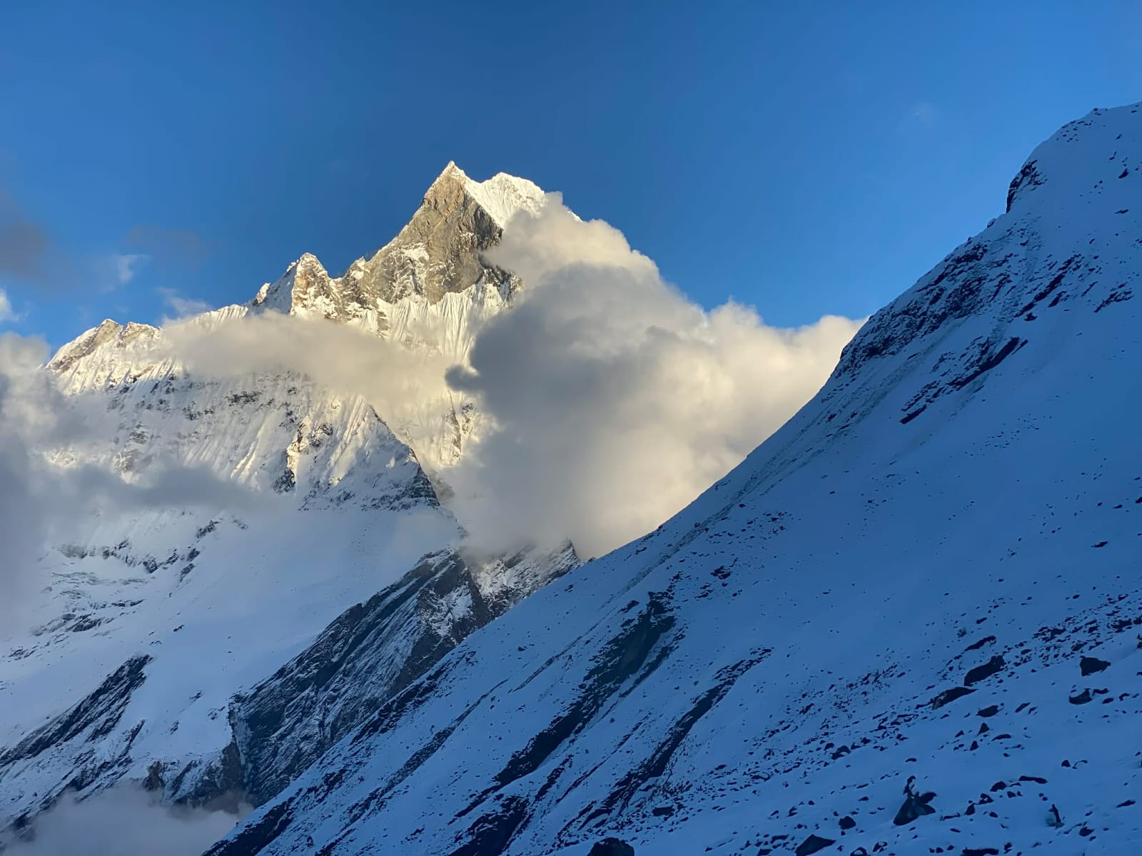
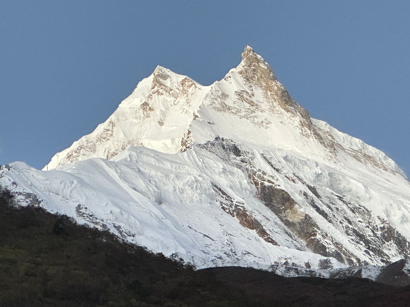
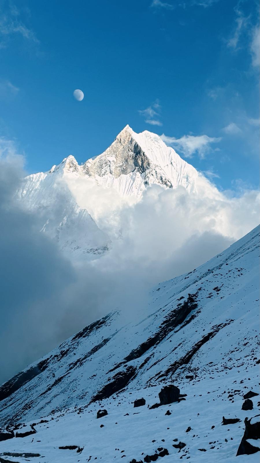
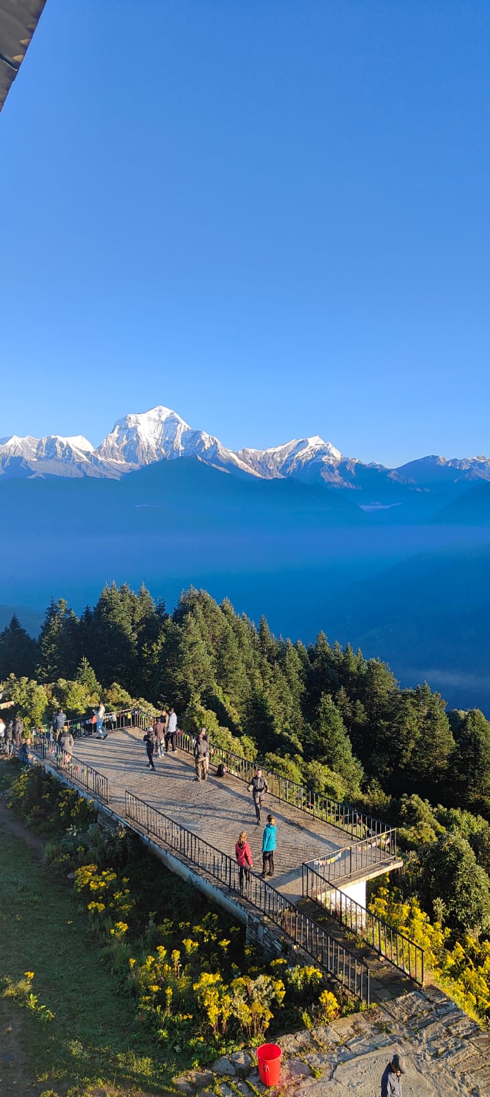
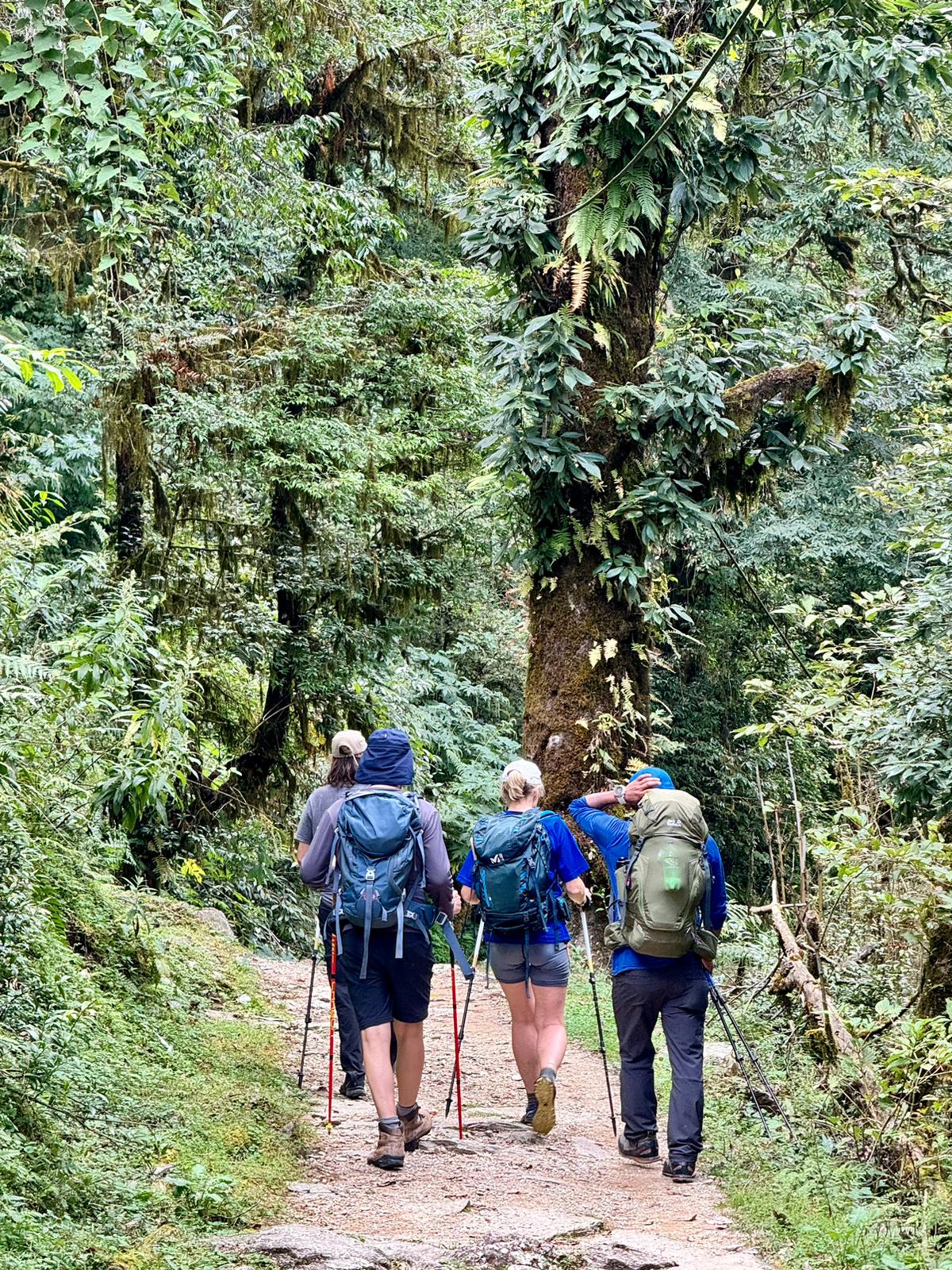
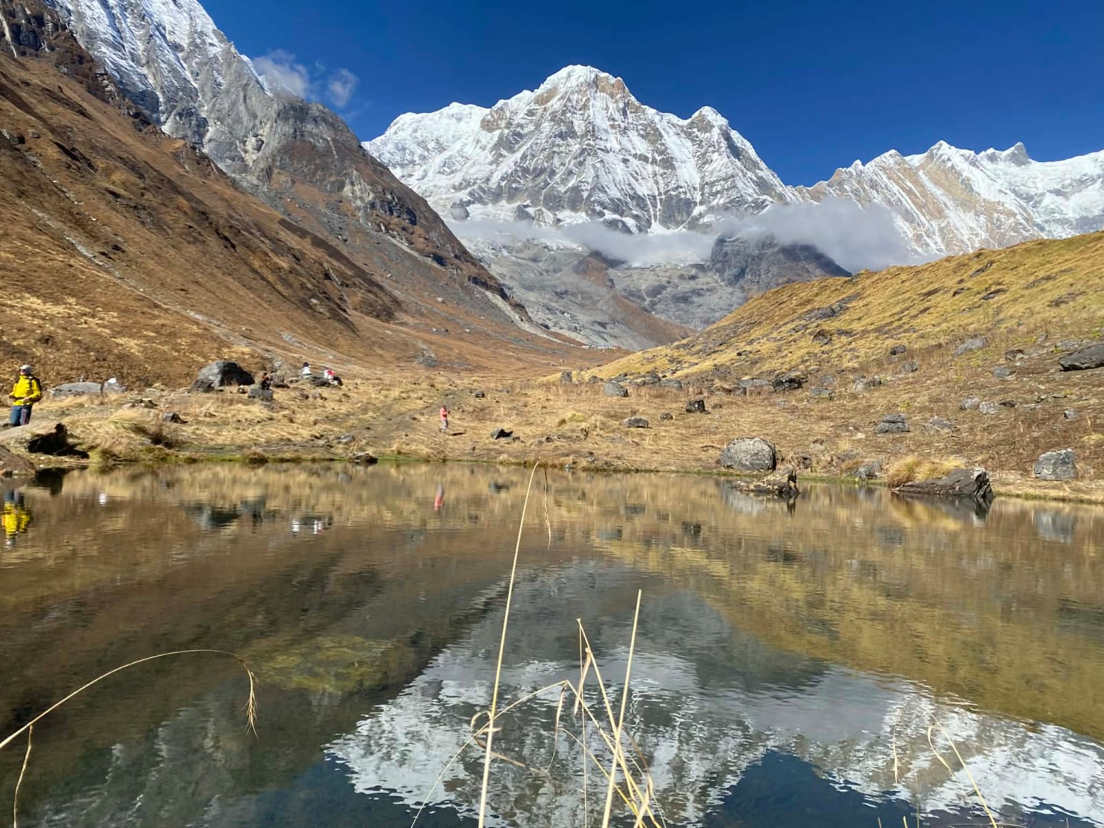
- Passes through lush subtropical forests, terraced farmland, alpine meadows, and arid high-altitude landscapes.
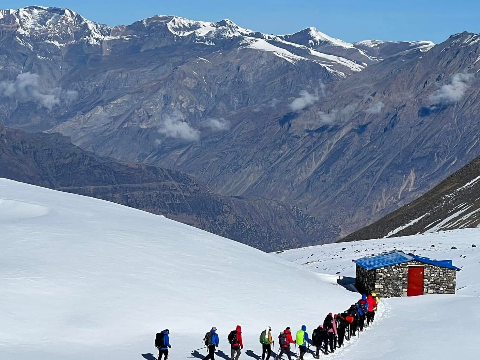
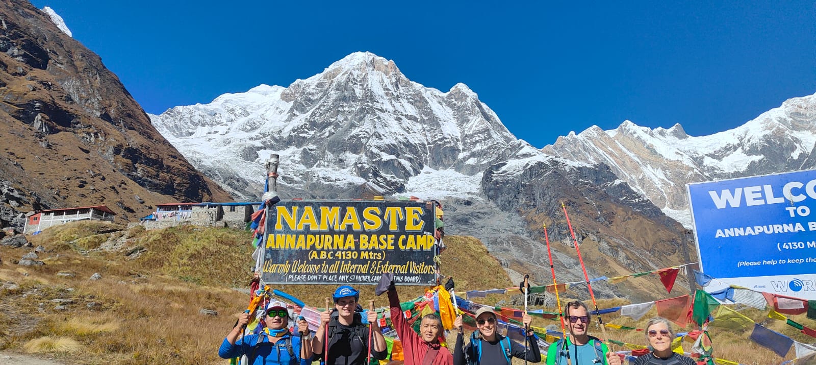
- Includes the challenging Thorong La Pass (5,416 meters/17,769 feet), the highest point of the trek.
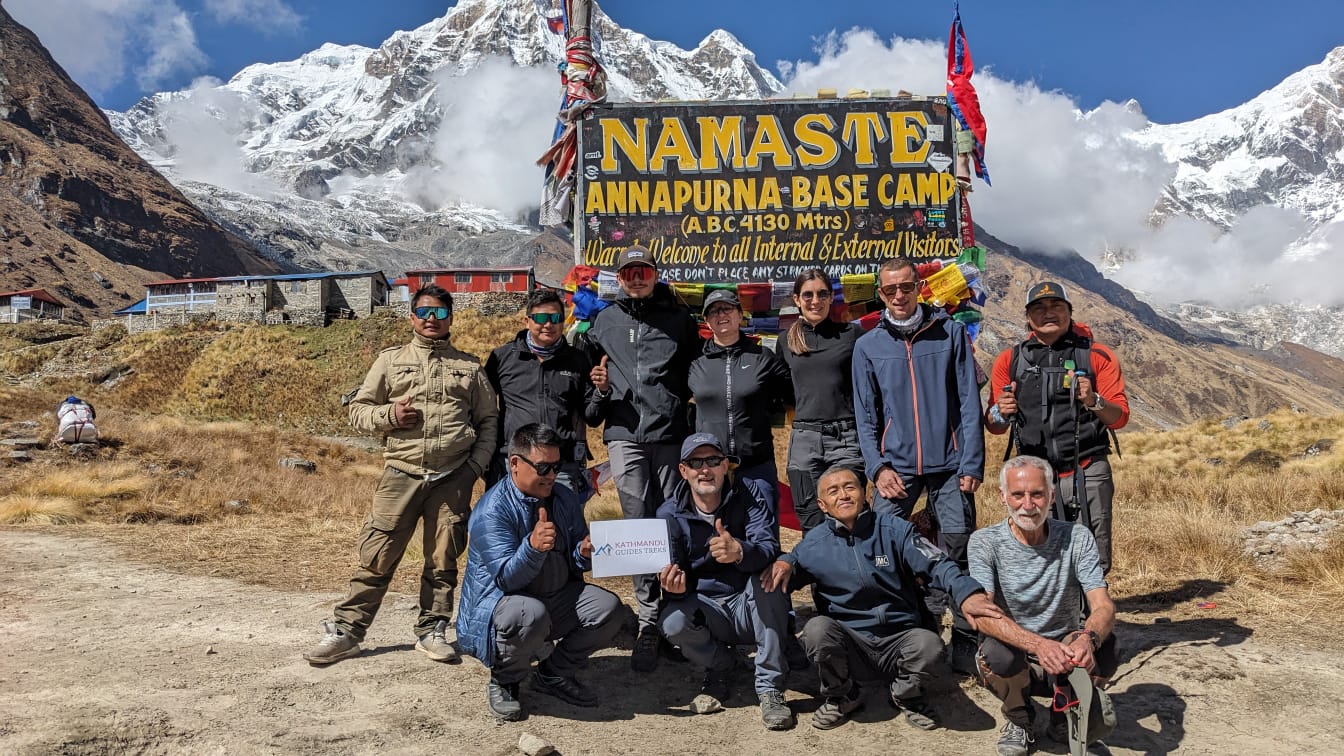
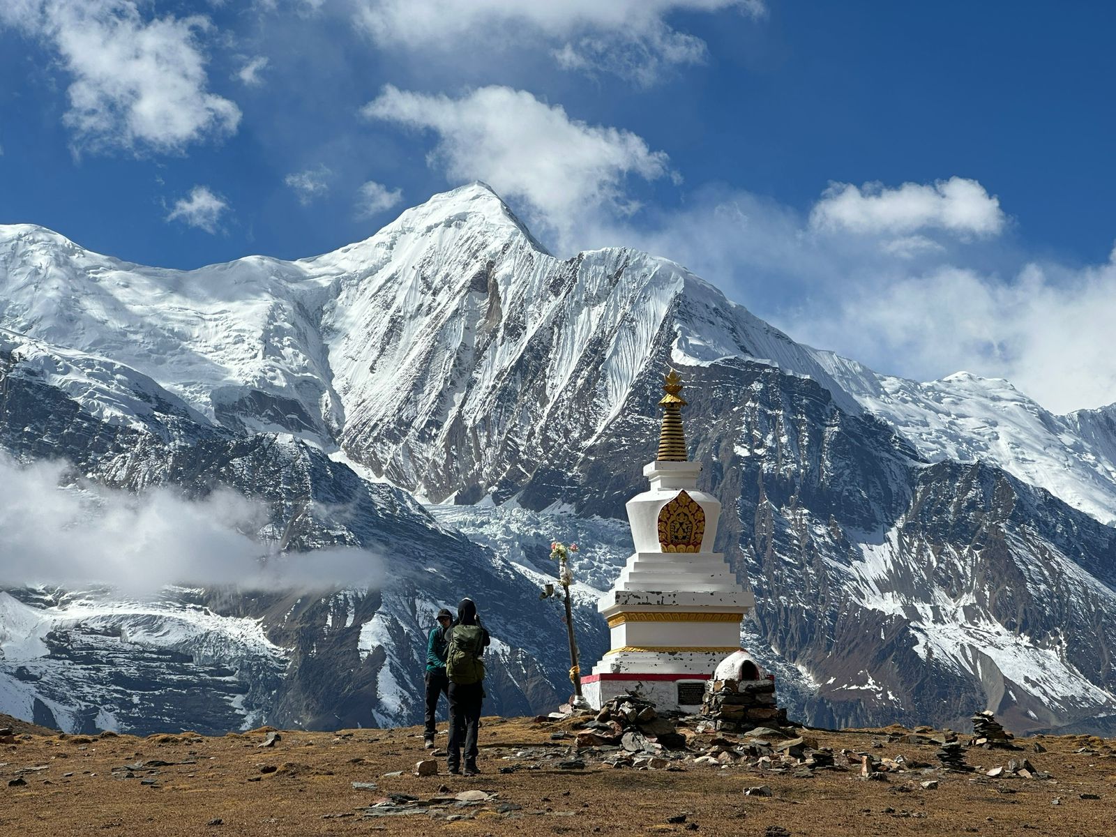
- Cultural Experiences:
- Interactions with diverse ethnic groups, including Gurung, Thakali, and Tibetan communities.
- Visits to ancient monasteries, stupas, and villages such as Manang and Muktinath.
Permits and Requirements
- Annapurna Conservation Area Permit (ACAP).
- Trekkers’ Information Management System (TIMS) Card.
- A guide is not mandatory but recommended for safety and insights into the region.
Challenges
- High altitude and risk of altitude sickness.
- Variable weather conditions, especially at higher altitudes.
- Steep ascents and descents requiring moderate to good physical fitness.
The Annapurna Circuit Trek in 2026 promises an enriching adventure for trekkers of all levels, combining natural wonders, cultural richness, and a profound sense of achievement.

Annapurna Circuit Trek with Poonhill 2026 - view 1
.jpeg)
.jpeg)

.jpeg)
.jpeg)


.jpeg)
.jpeg)

.jpeg)
.jpeg)


.jpeg)
.jpeg)

.jpeg)
.jpeg)
.jpeg)
.jpeg)
.jpeg)

.jpeg)
.jpeg)

.jpeg)

.jpeg)
.jpeg)

.jpeg)

.jpeg)
.jpeg)
.jpeg)
.jpeg)

.jpeg)
.jpeg)

.jpeg)
.jpeg)
.jpeg)
.jpeg)

.jpeg)
.jpeg)
.jpeg)

.jpeg)
.jpeg)
.jpeg)
.jpeg)
.jpeg)
.jpeg)
.jpeg)